hiking
Shasta Hiking
Bailey Cove Trail –
Length of trail is 3.1 miles
Intermediate
Great views of the water and mountains.
Plenty of shade
Directions: From I 5, take exit 695 O’Brien/Shasta Caverns exit. Turn right at end of off ramp. Continue along Shasta Caverns road for four tenths of a mile to the Bailey Cove junction on the right side of the road. Turn right and follow road about six tenths of a mile to the day use area on the left in the upper parking lot.
Clikapudi Trail –
Length of trail is 8 miles
Intermediate
Views of the mountains surrounding Shasta Lake, opportunities to explore the the lake’s Pit River arm, and the beauty of Clikapudi Creek and its valley.
Directions: Located 9 miles east of Shasta lake City. From I-5, exit, 687. Turn right and follow Old Oregon trail for three miles. Turn left on to Bear Mountain Road and travel eight and a half miles to the junction of Dry Creek road. At the stop sign turn left and follow road about three miles.
Packers Bay Trails –
Waters Gulch Trail is 2.8 miles, Overlook Trail is 0.4 mile, Fish Loop Trail is 0.7 mile, East Side Trail is 0.4 mile
Easy
Beautiful views of the lake
Directions: for the East Side and Fish Loop trails: Exit northbound I-5 at O'Brien, exit 695, and join southbound I-5 traffic. Exit at Packers Bay Road. Follow signs toward Packers Bay boat ramp. The Fish Loop Trail begins and end at the Packers Bay parking lot. The Eastside Trail begins at the Packers Bay Marina Boat Ramp. *There is a daily fee for the use of the Packers Bay parking lot.
Directions: for the Overlook and Waters Gulch trails: Exit northbound I-5 at O'Brien, exit 695, and join southbound I-5 traffic. Exit at Packers Bay Road. Follow signs toward Packers Bay boat ramp. Trailheads and gravel parking area are on the right, 1/2 mile before the Packers Bay boat ramp parking lot. The Waters Gulch trail ends at the Packers Bay parking lot. The paved road from the Packers Bay boat ramp parking lot back up to the Waters Gulch trailhead can be walked to complete the loop. Expect steep inclines on this road. If you choose to start at this trail at the Packers Bay parking lot, there is a daily fee for the use of this facility.
Trinity/Lewiston Hiking
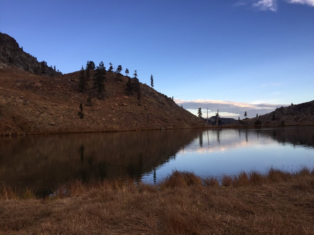
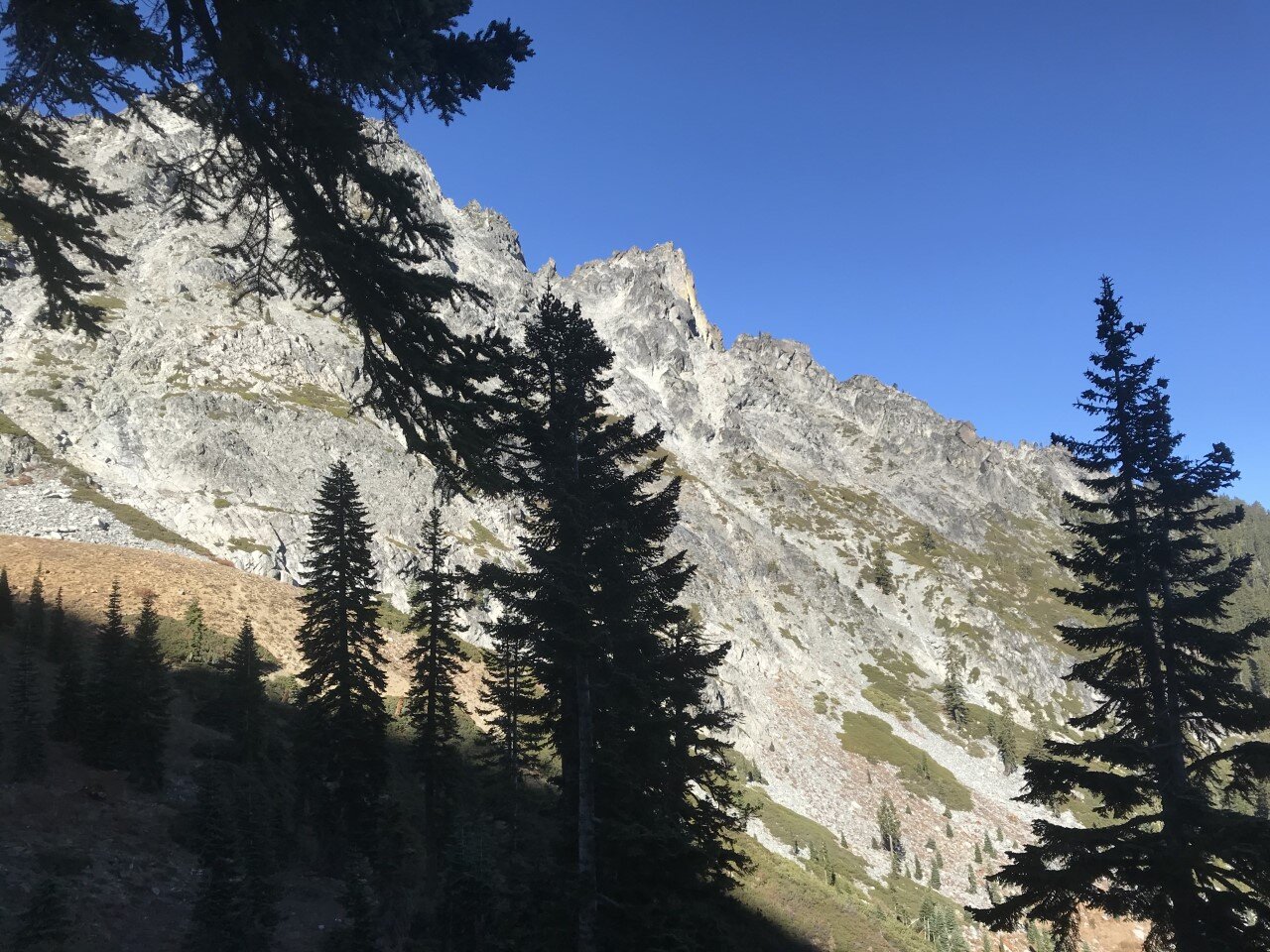
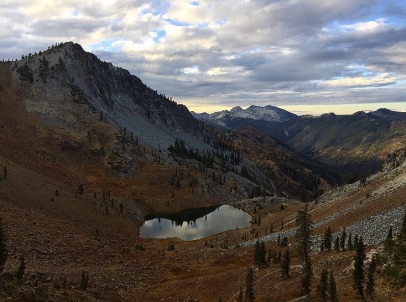
Trinity Alps Wilderness Trails –
This wilderness offers many different trails ranging from 1.5 miles to 15 miles
Varying levels of difficulty
The second-largest wilderness area in California, the Trinity Alps Wilderness nearly doubled in size by the 1984 California Wilderness Act. In that same year, it was added to the National Wilderness Preservation System. It currently has over 600 miles of trails and embraces over 500,000 acres of land. The trails include chiseled granite peaks, alpine lakes, and meadows.
North Lakeshore Trail -
Length of trail is 2 miles
Easy
Located on Lewiston Lake, the North Lakeshore Trail runs from Ackerman Campground to near Pine Cove Boat Ramp and is two miles long. This trail is not shaded so bring a hat and plenty of water for summertime hiking.
South Lakeshore Trail –
Length of trail is 1 mile
Easy
Directions: One mile north of Mary Smith Campground on Lewiston lake, you will find access to the South Lakeshore Trail. This trail traverses north through an old-growth Douglas-fir forest for one mile and connects with the Baker Gulch Trail.